About Birnin Gwari
Learn about our people, history, and culture.
General Information
Leadership
- Chairman: Hon. Salisu Isah Karama
- Vice Chairman: (Council Appointed)
Location & Geography
- Location: Western Kaduna State, Nigeria
- Headquarters: Birnin Gwari Town
- Area: 6,185 km²
- Neighboring areas: Igabi LGA (East), Giwa LGA (North), Chikun LGA (South), and Niger State (West).
Demographics
- Major Ethnic Groups: Hausa-Fulani (dominant), with minorities such as Gbagyi.
- Languages: Hausa and Fulfulde.
Economy & Climate
- Main Economic Activities: Grain farming (sorghum, maize), livestock rearing, and mineral extraction.
- Climate: Tropical savannah with a rainy season (April–October) and a dry Harmattan season (November–March).
Geography & Economy
Location
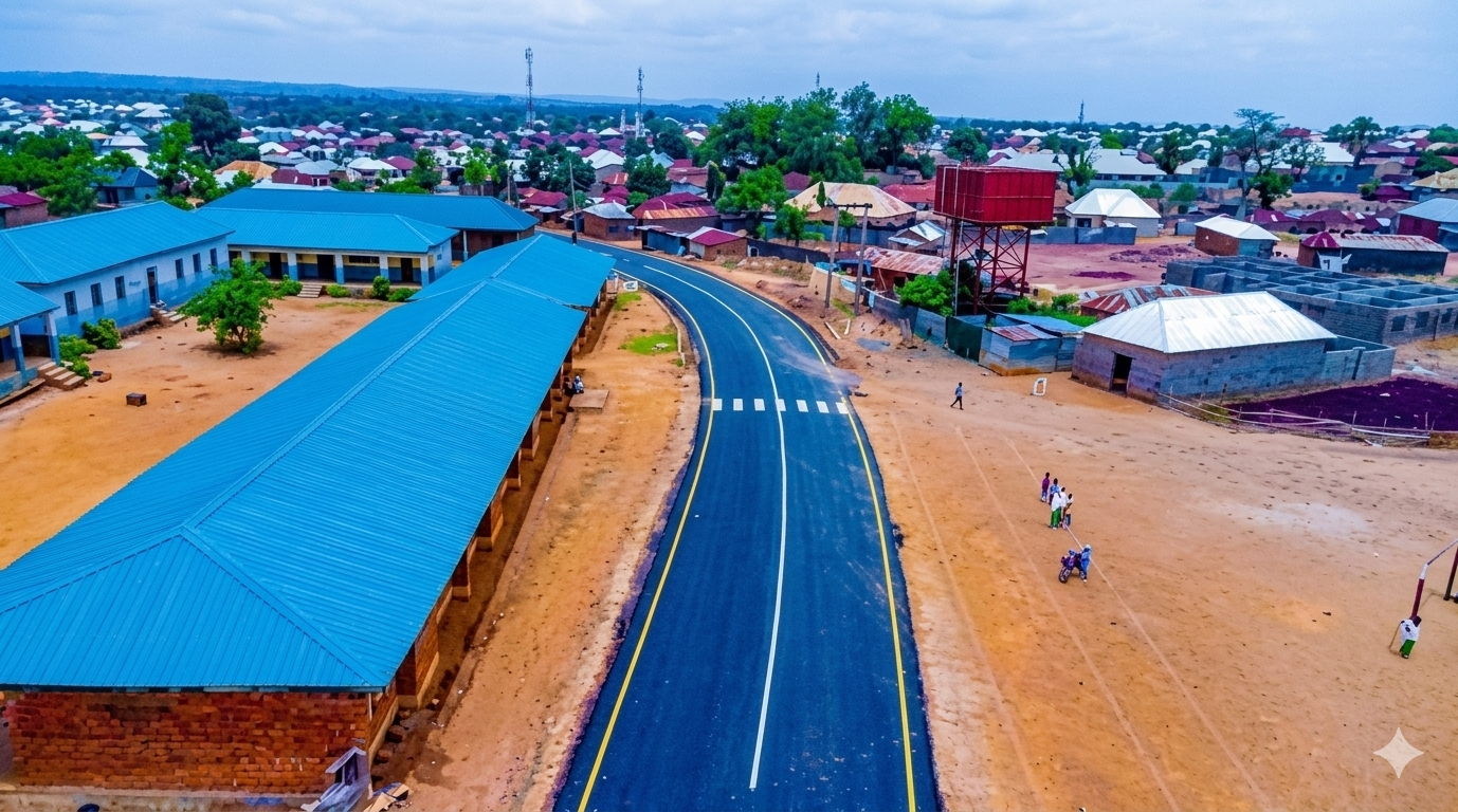
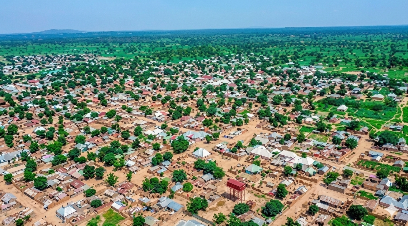
Birnin Gwari LGA is situated on the western edge of Kaduna State, bordering Niger State. This location makes it a key link between Kaduna and neighboring regions. The terrain includes savanna and forest, providing fertile soil for grains and grazing land for livestock.
Climate
Birnin Gwari has a tropical climate with moderate temperatures. The rainy season is from April to October, supporting crop growth, while the dry season (November to March) brings Harmattan winds.
Main Economic Activities
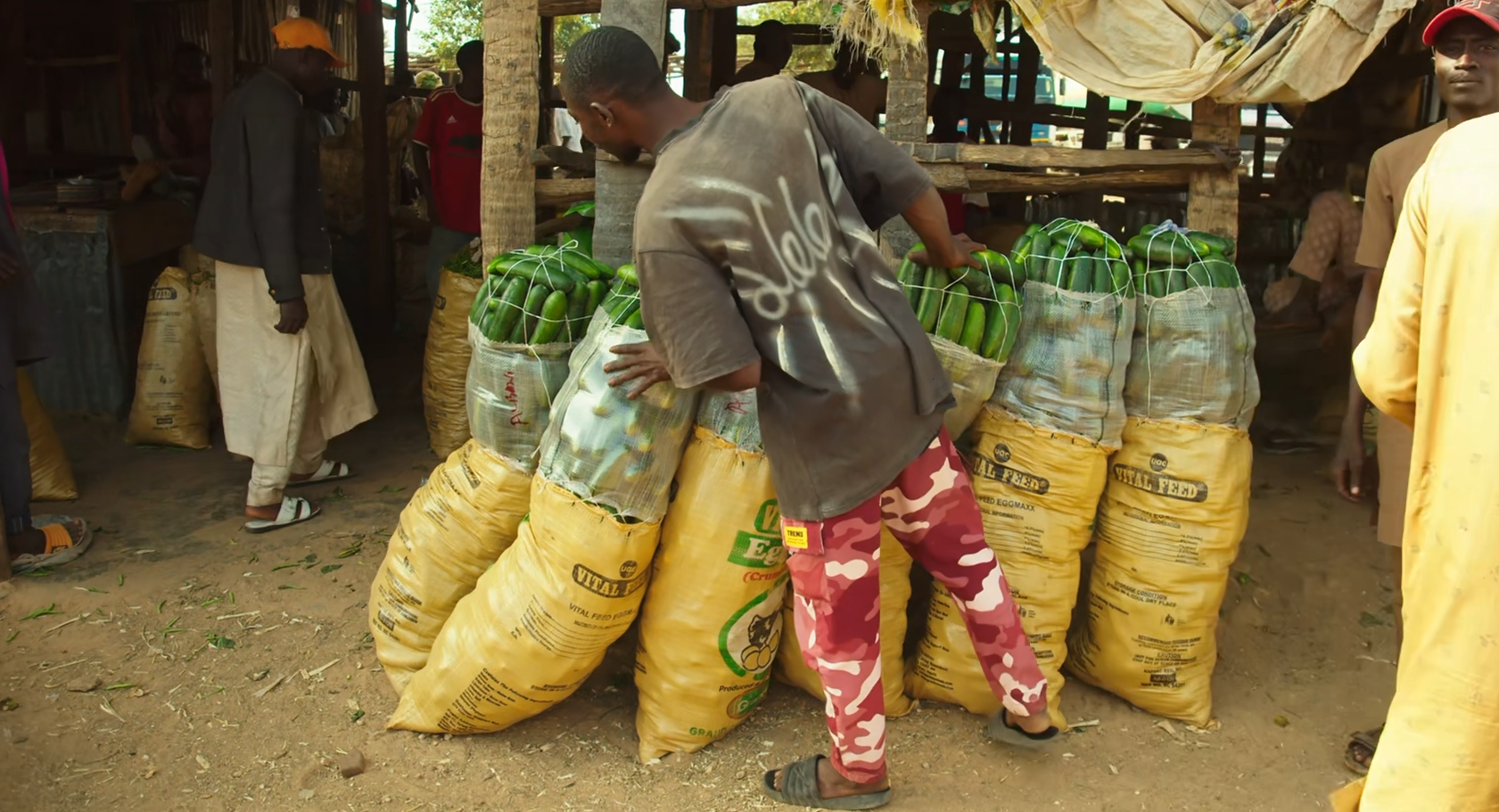
- Farming: Large-scale cultivation of sorghum, maize, and other grains.
- Livestock Rearing: Significant cattle, goat, and sheep populations.
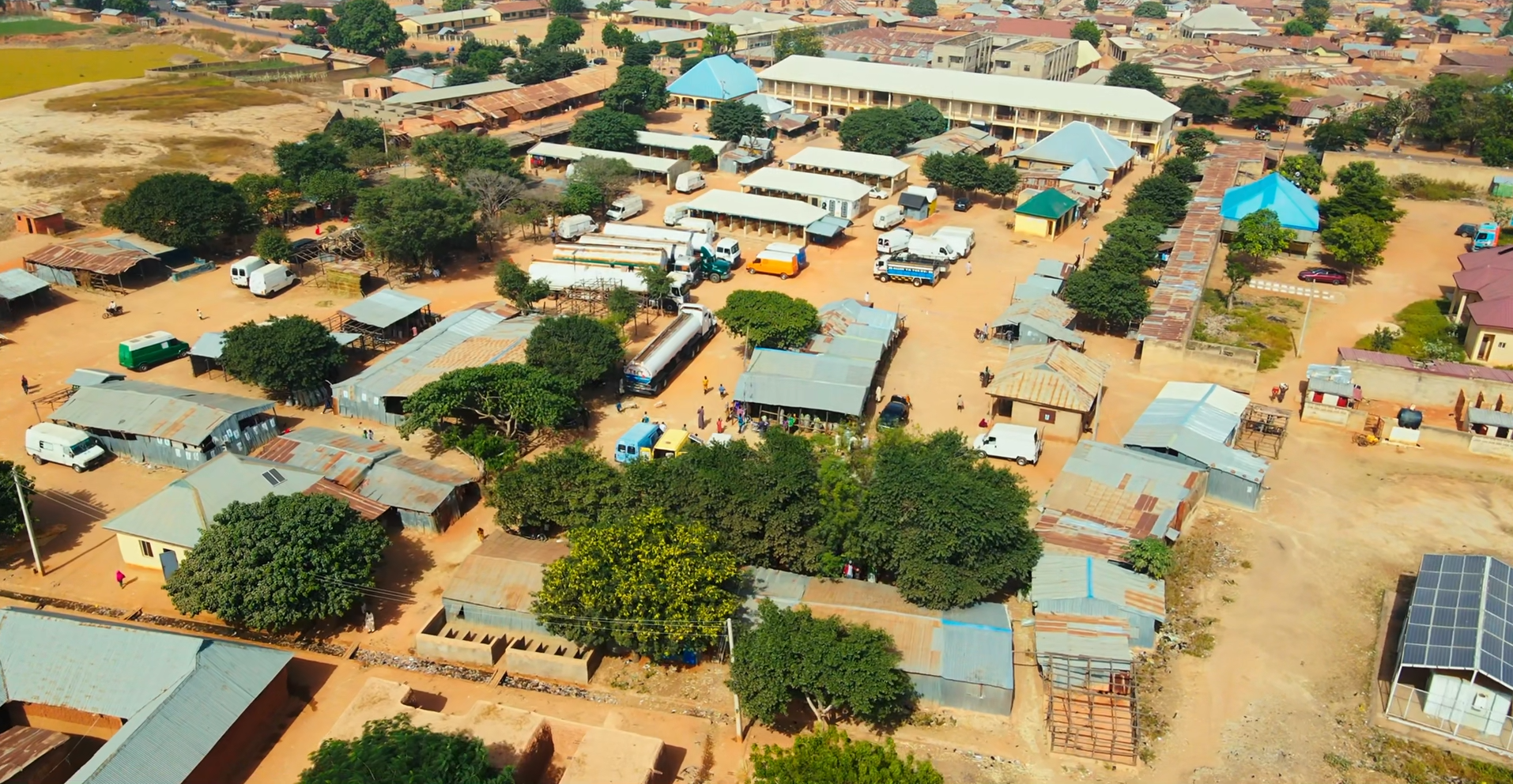
- Trading: The Royal Market in Birnin Gwari serves as a major commerce hub for agricultural produce and livestock.